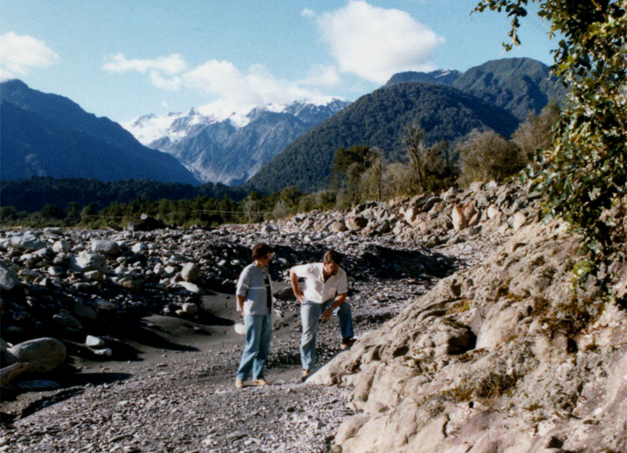
North West Shelf Petroleum Geology Course
P&R, in collaboration with well-known geologist Ian Longley, conducts a 3-day course on the Petroleum Geology of the North West Shelf. COVID-19 restrictions precluded running the course in recent years. Details of the schedule and location of the next course will be published when confirmed.
North West Shelf Map
P&R’s regional North West Shelf map is a TWT-structure map at the Base Cretaceous level, extending over the entire North West Shelf from Cape Range in the southwest to Darwin in the northeast. Prepared by integrating over 200 open-file and published maps, with a 100 millisecond contour interval, the map offers explorers a regional perspective on this important hydrocarbon province.
Carnarvon Basin Time-Structure Map
P&R’s Carnarvon Basin Time-structure Map presents detailed 20 millisecond TWT contours at the base Regional Seal horizons, being a merging of maps at the Base Cretaceous and Base Muderong levels. Prepared by integrating over 100 open-file, proprietary and published maps, the map offers both a regional perspective and local detail.


