Volcanic Landforms of the Ogaden
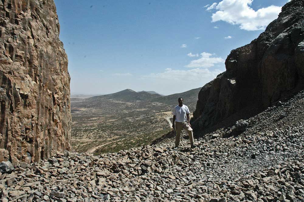
Volcanic rocks in southeast Ethiopia occur as broad plateaus, linear outcrops, isolated hill complexes, and meandering ribbons of exhumed paleo-canyon basalt fill. Many of these features are shown on the linked Ogaden Volcanic Landforms map. We have mapped these features using Landsat Geocover mosaics (1990 and 2000) and Google EarthTM, and have field checked many outcrops, including many very remote locations during helicopter-supported field work in 2008.
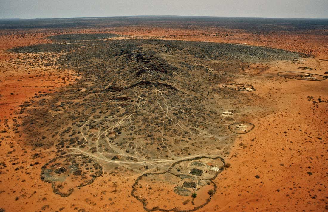
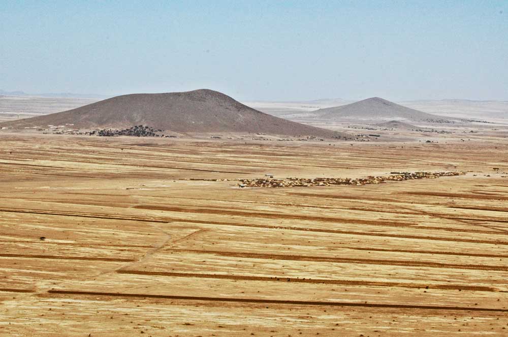
The best-known volcanic outcrop in the region is the elongate (150 km) basaltic layer capping the NNW/SSE-trending Marda Range and visible as a prominent dark lineament on satellite imagery. Also prominent are several long meandering basalt hills, which are topographic inversions of river channel-filling flows. The largest is the Gode flow between Imi and Gode and which originally flowed >200 km down the large meandering paleo-Wabe Shebele canyon. In the southeastern Ogaden, volcanic hills are associated with NW/SE-trending surface lineaments, many of which are shallow depressions, 100-300 m wide and about 2-20 m metres deep. Coincident magnetic anomalies identify underlying dykes that form part of the Ogaden Dyke Swarm.
Though aerially and volumetrically less significant than volcanics on the Ethiopian Plateau, the volcanics in SE Ethiopia are more extensive than previously thought. Extensive dyke systems and the presence of large intrusive complexes, such as Mt Abulcassim, in the western Ogaden are further evidence of this. We feel that a better understanding of age and distribution of volcanism in the area S/SE of Afar and the MER should assist efforts to understand the tectono-magmatic evolution of the broader region.
View Interactive Map of Images
Attachments
Large-scale gravitational spreading in Southeast Ethiopia. — 35.4 MB PDF File DownloadImage Gallery