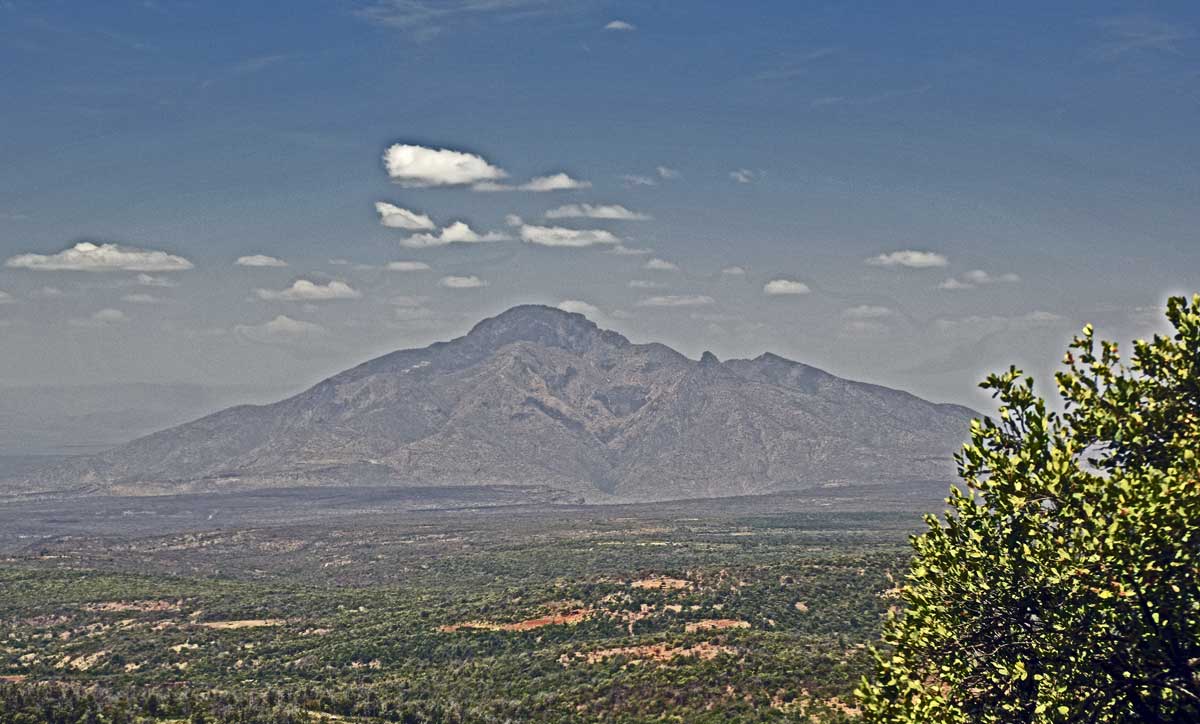
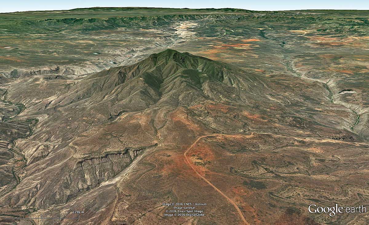
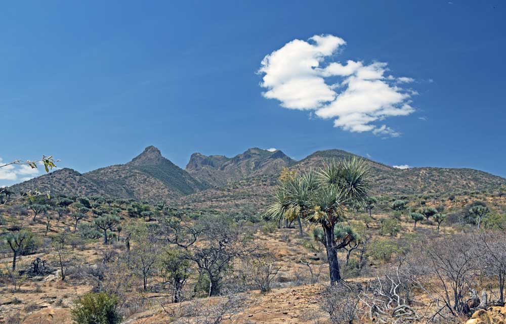
Mt Abulcassim
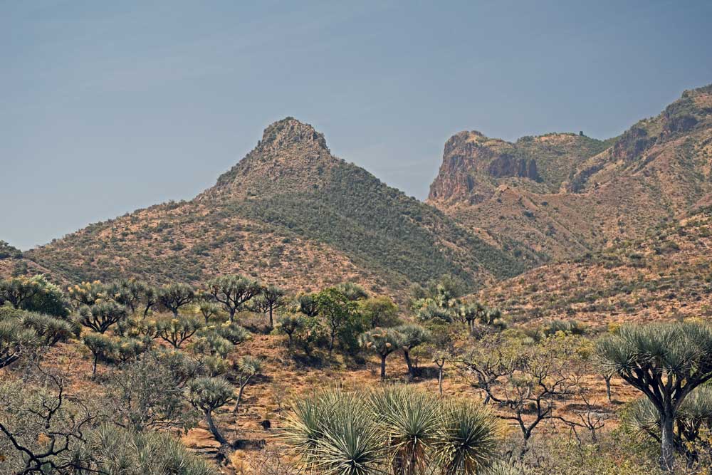
Mt Abulcassim is located in west central Ogaden region, within the Wabe Shebelle canyon system, close to the historic village of Annajina, also known as Sheik Hussein. The mountain peaks at nearly 2600 m elevation, rising dramatically over 1100 m above the plateau of Jurassic sediments.
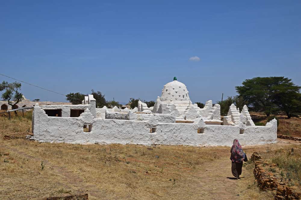
Mt Abulcassim has been a holy site for the Oromo people, dating back to pre-Islamic times. It was historically the residence of an Oromo religious leader, the Abba Muda of that tribal area, but became part of the Islamic culture of the region after conversion by Sheik Nur Hussein in the 13th Century. The mountain is named after Sheik Hussein’s descendant Abul-Qasim, who is buried there. Pre-Islamic and Islamic elements are syncretized in the Sheik Hussein religion, and pilgrims journey there twice a year.
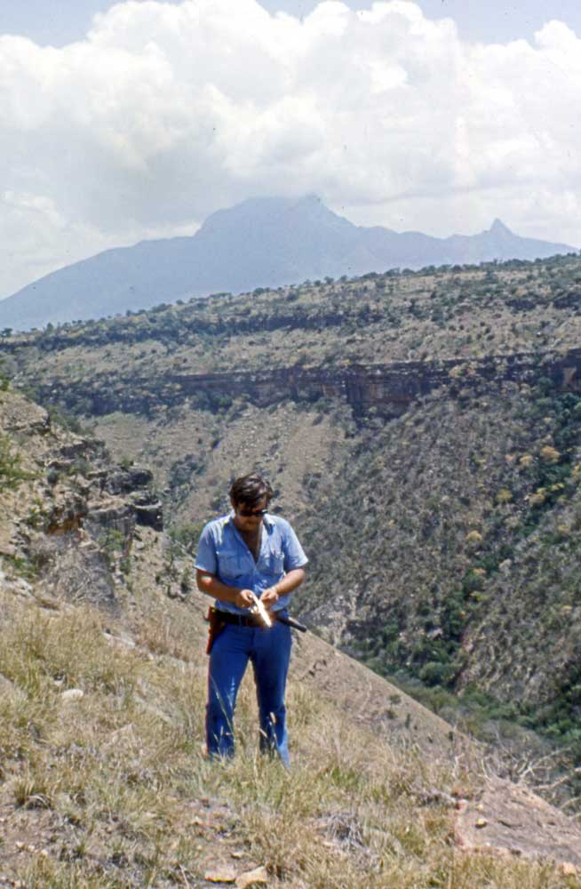
I first saw the mountain in 1976 while mapping in the Wabe Shebele valley to confirm that the Precambrian basement did not outcrop there, as then reported on the Geological Map of Ethiopia. Those erroneous reports originated in Dainelli’s 1943 compilation, Geologia dell’ Africa Orientale, when he assumed syenite samples collected c1901 at Mt Abulcassim by the German explorer Oscar Neumann were from the bottom of the Shebele canyon, whereas they more likely came from the mountain itself.
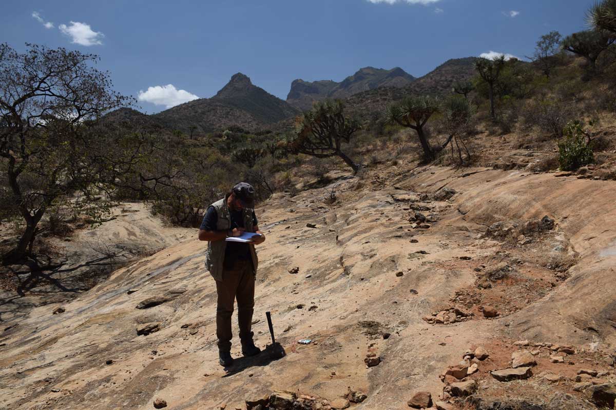
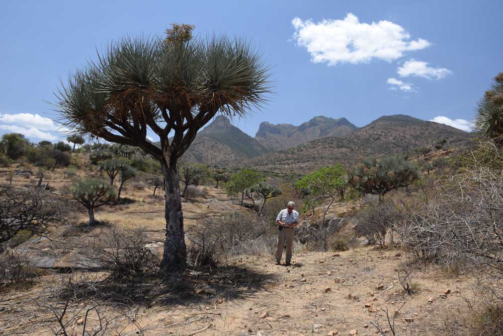
Geologically, Mt Abulcassim appears to be part of a major magmatic complex related to the development of the Ethiopian Rift. Numerous dykes occur in the surrounding region, some with radial patterns, others trending predominantly NNE, parallel to the rift. Several other large intrusive or volcanic structures, including the Goni complex to the south, occur nearby.
We visited Mt Abulcassim during fieldwork in 2014 and again in 2016 when we collected samples from a plug on the SW side of the intrusion. This has now been dated at 14.55 My.
Image Gallery