Volcanism and Rifting, SE Ethiopia
The main component of the Marda Project is mapping and dating of the volcanics S/E of Afar and the Ethiopian Rift (MER) and contributing to the understanding of the tectonic development of the East African Rift system.
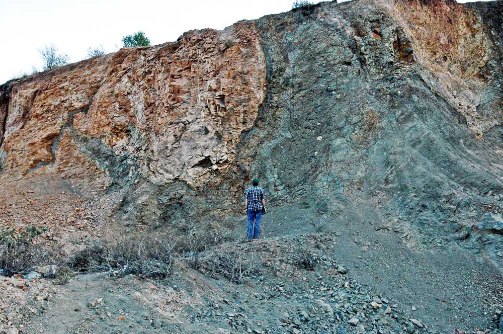
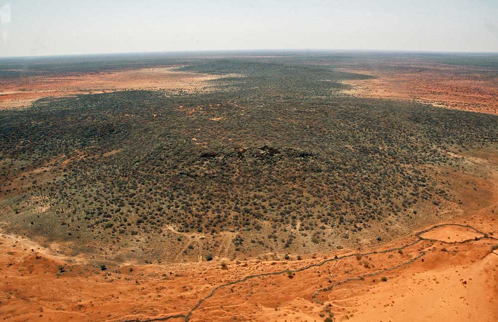
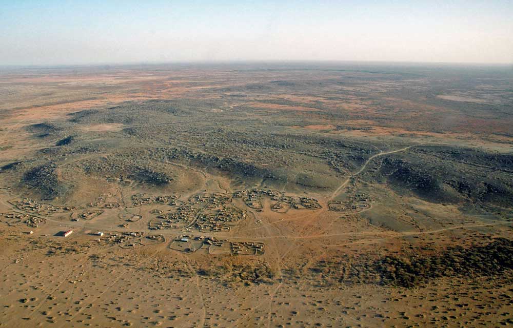
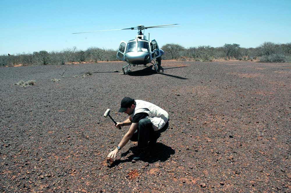
Satellite-based mapping has been field-checked during the 2008 helicopter surveys of remote areas near the Somalia border, and field surveys in 2011, 2014 and 2016 along the Afar/MER shoulder, from Jijiga in the northeast to Dolo in the south. The new geological mapping, integrated with magnetic data and 50+ accurately-dated basalt samples, is providing new insights into the age and pattern of volcanism in this region. We propose that a major dyke system, which we call the Ogaden Dyke Swarm, extends over 600 km SE from the Afar margin to at least the Somalia border The tectonics implications for models of early rifting in the Afar triple junction are discussed in our paper in Geological Society of London Special Publication 420.
Our results have been presented at various conferences including the 2011 International Geomorphologists Conference and the 2012 Magmatic Rifting and Volcanism Conference, both in Addis Ababa and the RiftVolc Conference in 2019 at Hawassa in the Ethiopian Rift Valley. The volcanic landforms of the Ogaden are described in our paper in the recently published Volcanic Landform of Ogaden, a sub-project to Marda Project. The work also features in posters and publications about Mars, for which the Ogaden provides a hot/dry-weathering model.
We are currently working on an overview paper on the volcanics in the Ogaden region, incorporating the 2008-2016 mapping and age-dating.
View Interactive Map of Images
Attachments
Major Dyke Swarm in Ogaden region, south of Afar . — 3 MB PDF File DownloadEthiopian Flood Basalt Province: Ogaden Dyke Swarm. — 1.7 MB PDF File Download
Volcanic Outcrops in SE Ethiopia and the Ogaden Dyke Swarm. — 26.4 MB PDF File Download
Landscape and Landforms of the Ogaden, SE Ethiopia — 1.8 MB PDF File Download
Revised mapping and dating of Cainozoic volcanics southeast of Afar and the Main Ethiopian Rift. — 9.8 MB PDF File Download


